VALEO CES - TRANSFORMATIONS FOR SAFER MOBILITY
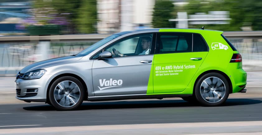
With its driving assistance technologies and expertise in active safety, Valeo aims tirelessly to make roads safer. In addition to its constancy, Valeo also has the ability to develop technologies at high speed. It all began with the first ultrasonic parking assistance systems in 1991. The story gathered pace from 2004. Since them, no two years have gone by without Valeo launching yet another world first in driving assistance systems, starting with the first lane departure warning system and continuing through to the first image-processing system enabling drivers to “see through” their trailer or caravan for maximum visibility, offered by Valeo XtraVue Trailer® .
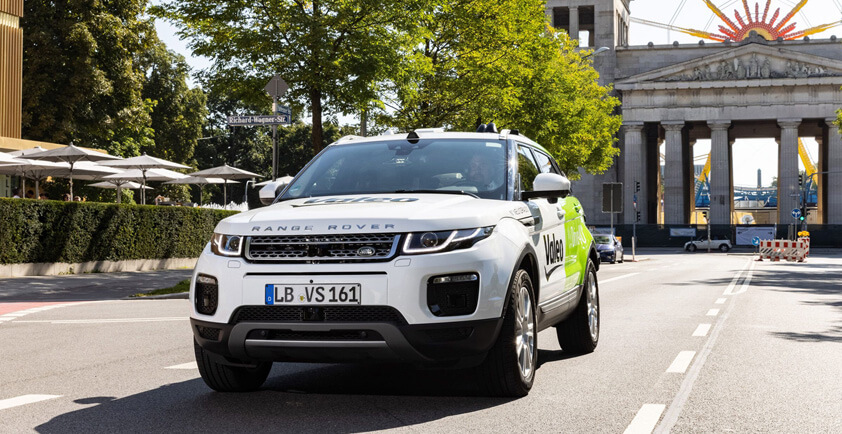
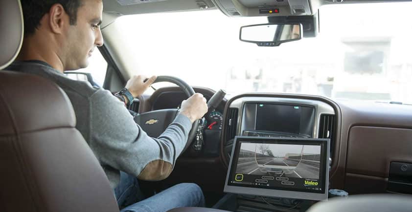
Valeo has established itself as the world leader in the design and production of driving assistance sensors, allowing finely tuned perception of the vehicle’s environment. It also has the market’s most extensive sensor portfolio to date (including LiDARs, cameras, radars and ultrasonic sensors), and above all the one and only series-produced automotive-grade LiDAR fitted on vehicles already on the market.
At CES, Valeo once again demonstrated its ability to invent technologies for safer mobility, including an intelligent system capable of predicting the behavior, intentions and trajectories of other road users, as well as two unique, complementary systems for ultra-precise vehicle location.
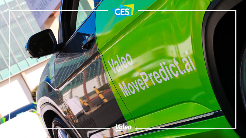
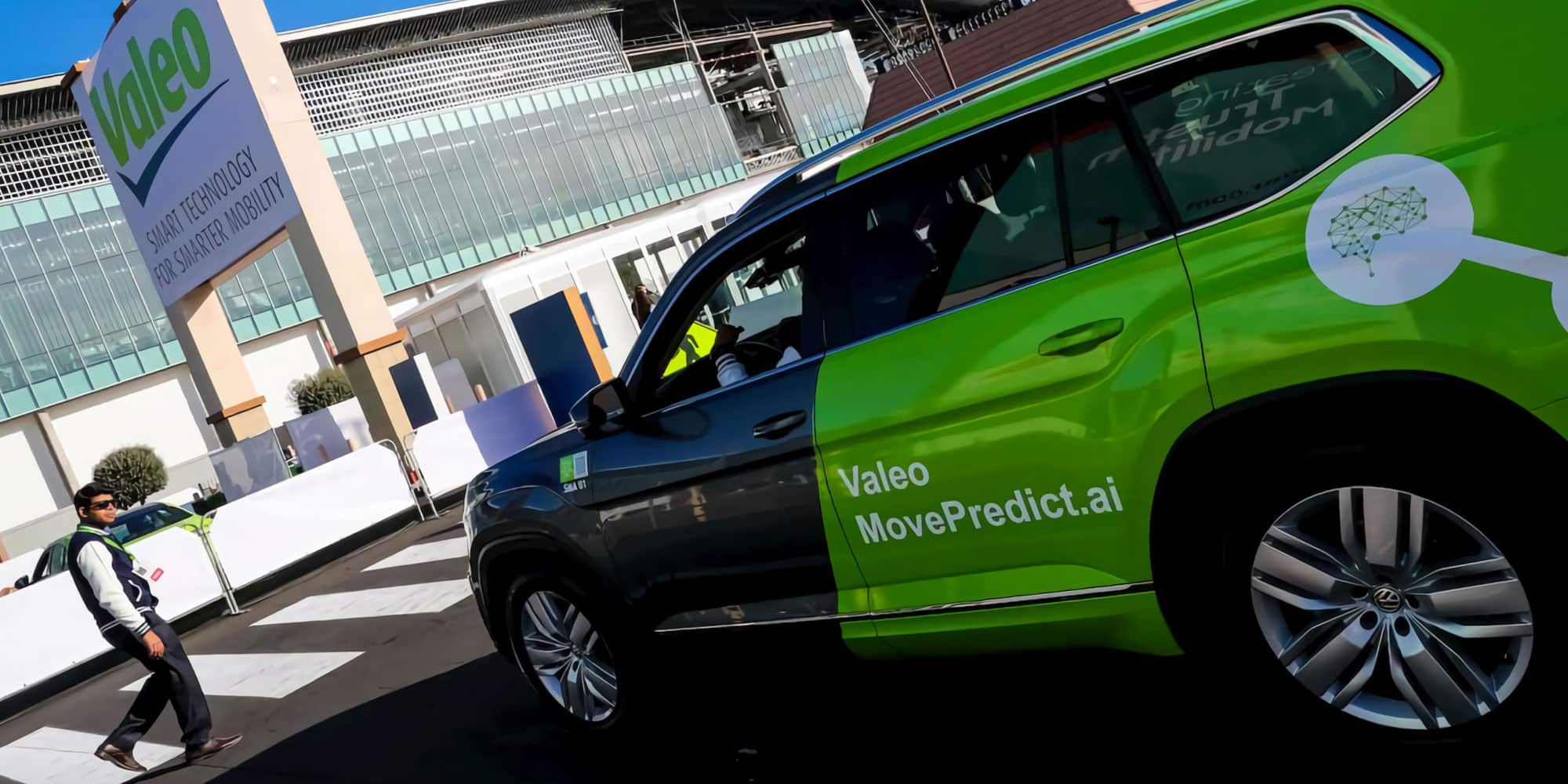
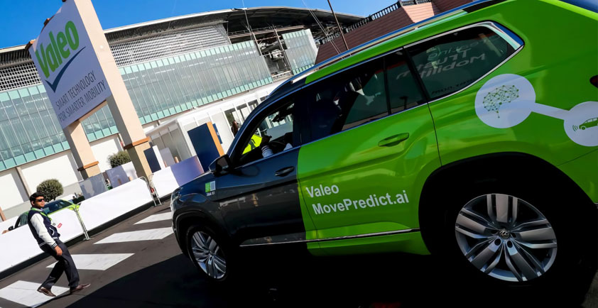
Valeo Move Predict.ai: predicting the intentions of road users
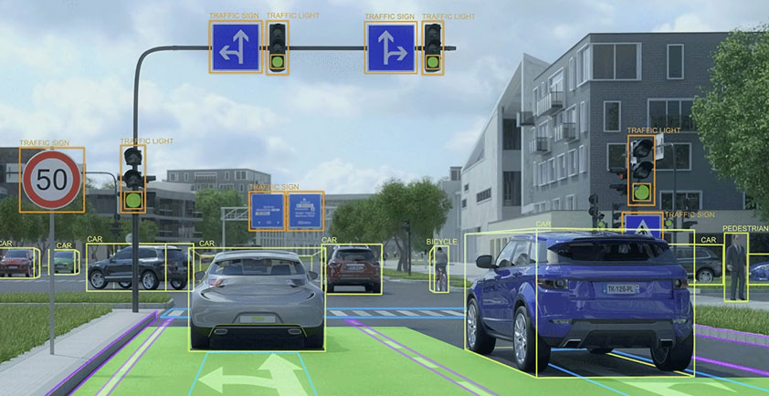
Valeo Move Predict.ai, a technology unveiled as a world first at CES, can detect vulnerable road users located in the vehicle’s immediate vicinity, such as pedestrians, cyclists, skaters and scooter riders, and predict their intentions. The technology is based on combining Valeo’s expertise in 360° perception around the vehicle, thanks to its sensors (latest generation of fisheye cameras and Valeo SCALA® LiDAR), with artificial intelligence.
Valeo Move Predict.ai can perform a detailed analysis of the scene surrounding the vehicle, the behavior of road users, their level of attention or distraction, factoring in whether or not they are using a mobile phone for instance. It uses this information to predict their intentions, such as crossing the road, and associated trajectories. And it can then instantly alert the driver of potential risky behavior by a road user, activating the emergency braking system if necessary.
Valeo Move Predict.ai represents a major advance in active safety – one that could considerably reduce the number of accidents involving vulnerable road users and at the same time contribute to the development of autonomous driving in urban areas.
The technology can be fitted on cars as well as on new mobility vehicles such as robotaxis and delivery droids.
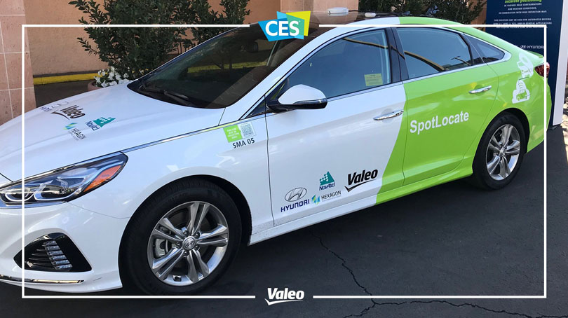
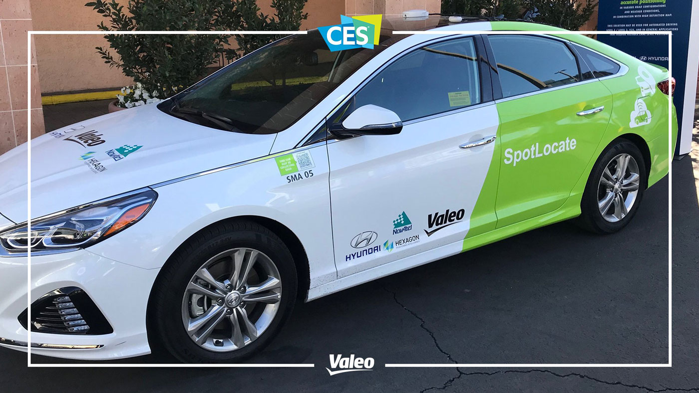
Valeo SpotLocate, a few centimeters make for a giant technological leap
Hyundai, Hexagon’s Positioning Intelligence Division, Valeo and a major mobile network operator are presenting a new technology that allows a vehicle to pinpoint its position on the road with centimeter-level precision.
The use of GPS positioning has become extremely widespread, particularly in the automotive industry. But this technology approximates positioning to within several meters only (between 1.5 and 3 meters in optimum conditions). It is therefore insufficient to determine, for example, which lane a vehicle is in. The new Valeo SpotLocate system offers ten times greater precision, which will help make roads safer. After an emergency braking maneuver, for example, the vehicle can share information about the maneuver and its exact location with other vehicles.
This technology will allow cities to streamline traffic flows by transmitting real-time information about vehicle locations. The system will facilitate the development of autonomous vehicles by improving all levels of driving automation from level 2 to level 5. Lastly, onboard navigation systems will be able to display more precise and user-friendly maps on their screens.
The solution can be rolled out rapidly, because it uses a combination of standardized technologies:
> The data transmission channels already exist in the mobile operator’s network.
> The stationary receivers, which are part of localization infrastructure, and the TerraStar X correction technology are already in place, thanks to Hexagon.
> The automotive-grade telematics control unit has already been developed by Valeo. It tracks the vehicle and guarantees the security of data exchanges.
> The capacity to integrate these systems into the vehicle has already been fully acquired by Hyundai. The system can be offered at an affordable price. It is perfectly aligned with Valeo’s philosophy of launching series production of its cutting-edge technologies, in line with the automotive industry’s high standards.
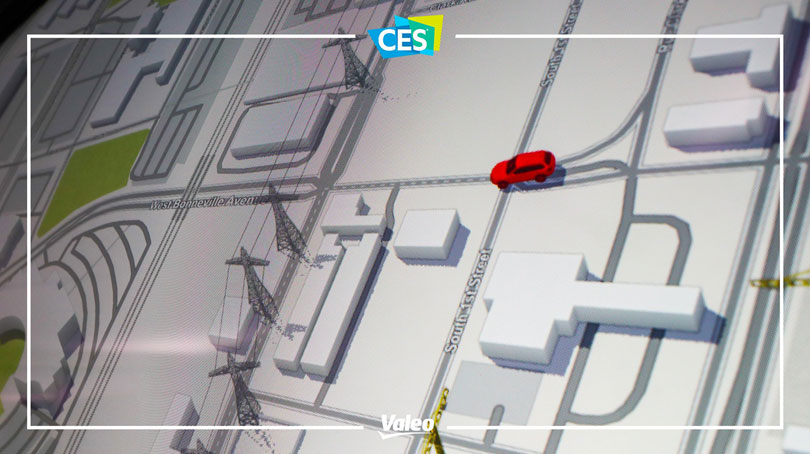
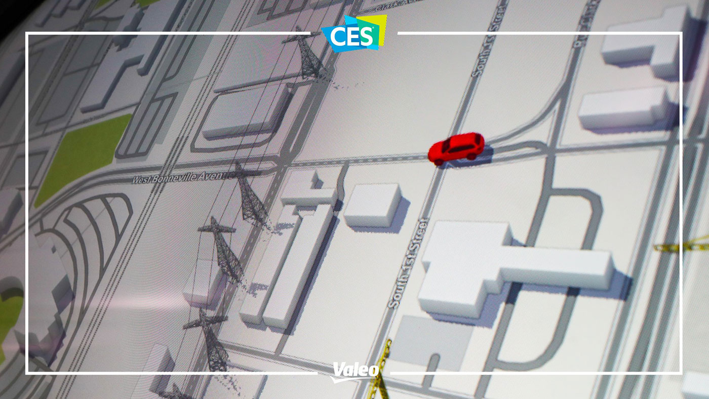
Valeo Drive4U® Locate, when the car does its own real-time mapping
Valeo is presenting a system that allows vehicles to locate their position with extreme precision, thanks to localization algorithms and mapping systems drawing on Valeo’s perception systems. Mapping is dynamic, constantly enriched by crowdsourcing, i.e., calling on input from all vehicles.
Valeo Drive4U Locate® will facilitate the development of autonomous vehicles by providing an additional level of safety, not to mention optimized vehicle fleet management. This is the case of the demonstration performed using five vehicles on the road in Las Vegas: a Drive4U Locate® vehicle demonstrator and four fleet vehicles, all fitted with the Valeo SCALA® sensor, to date the one and only series-produced automotive-grade LiDAR (Light Detection and Ranging) technology fitted on vehicles already on the market. LiDAR is a key factor in the development of autonomous driving.
Each vehicle plays a part in the creation and continuous updating of dynamic city mapping by sending the information collected by Valeo LiDARs (static objects including work areas, new infrastructure, etc.) into the cloud. In return, each vehicle benefits from centimeter-level localization (within 12 cm, versus 5 m for a standard GPS without corrections), by comparing the perception of its immediate environment with dynamic mapping to determine its exact positioning.
A vehicle’s ability to perceive its environment and locate itself very precisely is a major challenge in the development of advanced driving assistance systems and autonomous vehicles.