VALEO - MOBILE AIR QUALITY MAPPING IN PARIS
At Valeo, we are putting our expertise in air quality detection for passengers to good use for citizens. How? By using mobile sensors to generate dynamic, full-scale mapping of outside air quality levels in urban areas. For 28 weeks in Paris, we deployed a fleet of 20 vehicles to track and transmit data in real time, compiling more than 28 million pollution data points and covering 80% of Parisian streets.
Today France has its own Air Quality Index, reinforced by the European Air Index, which both communicate pollution levels to the public. But existing models have certain limits, as they are based on static monitoring stations and on an average estimation of pollution levels over a given time period (1 hour in Paris).
Mobile mapping with Valeo sensors
As a global leader in air quality management, Valeo launched a public-private initiative, conducting a proof of concept to collect air quality data throughout the streets of Paris.
Over the span of 28 weeks, 20 vehicles crisscrossed Parisian neighborhoods, collecting and delivering real-time data on pollutant concentrations in a hyper localized way.
By using mobile sensors, our model is able to generate a dynamic and highly accurate monitoring of air quality in real-time. This also helps us gain a more precise understanding of how air pollution develops, concentrates, appears and disappears.
During the project, we were able to generate our own “Air QuaIity Index” covering an exhaustive range of pollutants, which aggregates both data from the existing stations and from Valeo’s own air quality sensors. This forms a detailed mapping grid based on high-frequency data collection.
What is an Air Quality Index?
An Air Quality Index (AQI) is a model used by local authorities to forecast pollution levels, so that the public can take necessary precautions to protect themselves during pollution peaks. The higher the AQI index, the more dangerous pollution levels may be. Different regions around the world have their own air quality indices, according to different national air quality standards.
The AQI can increase due to a number of reasons, including an increase of air emissions, or a lack of dilution of air pollutants, such as stagnant air due to high temperatures or low wind.
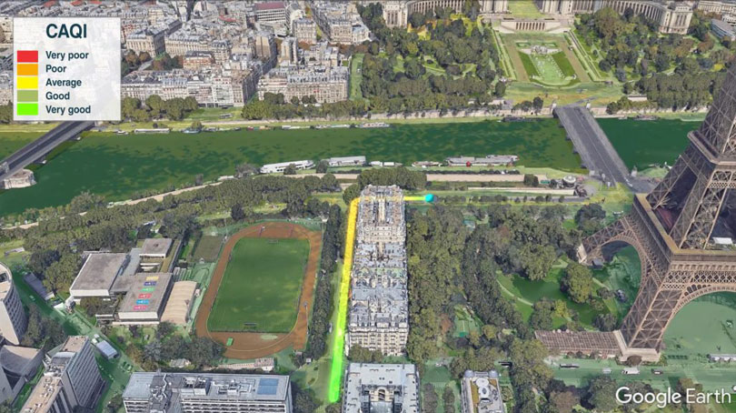
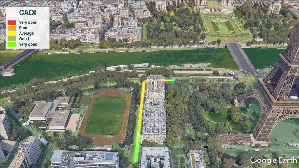
Close-up of a vehicle’s data tracking; the color variations in the sensor track show different the air quality levels measured at street level.
How it works
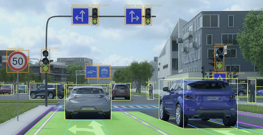
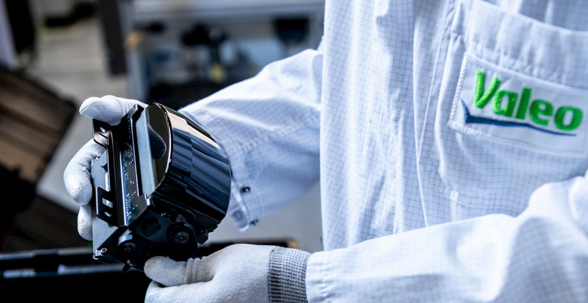
The Valeo sensors are positioned at the air-intake level of the vehicle in order to meet functional and operational constraints, such as extreme heat, vibration and humidity. The sensors provide precise measurements of several pollutants needed to accurately assess air quality: fine particles (PM2.5, PM10), sulfur and nitrogen dioxide, ozone and carbon monoxide.
Data concerning traffic estimates, weather forecasts and pollutant emissions are first pulled together to generate a base mapping. The data provided by Valeo mobile sensors – transmitted every second – are then used to complete and enrich this database and refine the modelling in real time. Each vehicle can thus deliver an instant mapping of the air quality surrounding it. And since urban air quality can significantly vary within a short distance and short time frame, instant mobile monitoring means a more precise view of which areas are most or least impacted.
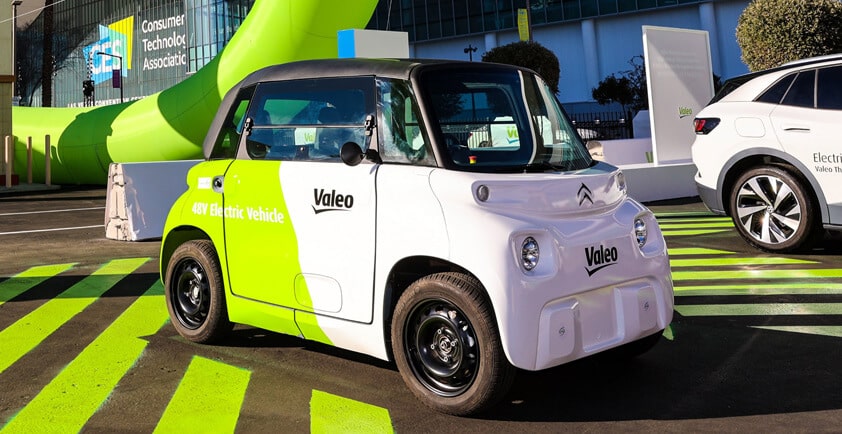
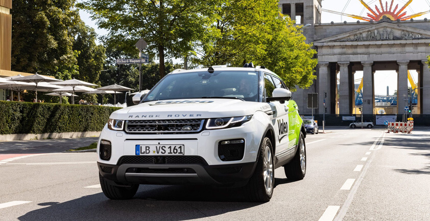
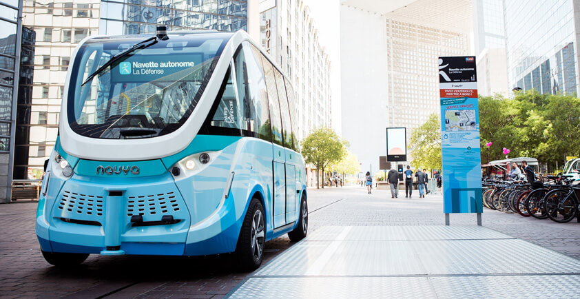
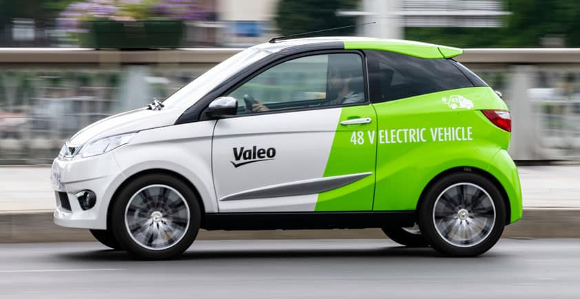
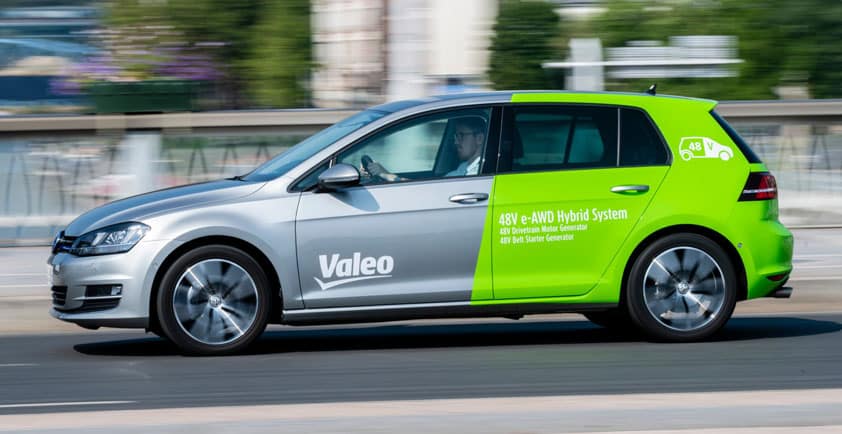
Valeo is now leveraging miniaturisation technology to fine-tune its sensors and plans on bringing the mapping to the market by the end of 2020. The technology can be integrated into a wide range of vehicle types for a number of mobility applications, including taxis, buses, tramways and small electric cars.
Mobile Air Quality apps for urbanites
The benefits of air-quality mapping will extend far beyond regulators and car manufacturers. This kind of real-time information is beneficial for every day urban usage.
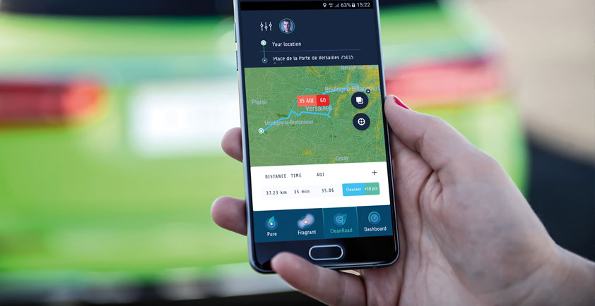
One example is a mobile app that combines air-quality tracking with other metrics that can impact passenger itinerary choices, such as traffic incidents, congestion and roadwork. By merging all this data together, the Valeo app proposes alternate routes, thus limiting the exposure of users – pedestrians, cyclists and drivers – to excessive pollution.
Addressing the concerns of local communities
Findings from this Proof of Concept can have a strong impact for municipalities as well. Dynamic mapping can help communities to make quicker corrective adjustments to improve air quality in particularly sensitive areas for pedestrians, such as schools, parks and bike paths, and monitor the real-time impact of these adjustments.
Ultimately, it’s all about having the tools and data necessary to make the right strategic planning decisions in terms of urban mobility, whether it be deviating certain routes, flexing public transportation according to local pollution peaks or implementing new, dynamic traffic-management tools.
In the near future, as people look to technology and intelligence to live healthier lives, Valeo is ideally positioned to make the invisible aspects of pollution visible to everyday citizens.