ORDNANCE SURVEY AND MOBILEYE BEGIN TRIALS TO MAP BRITAIN’S ROADSIDE INFRASTRUCTURE
LONDON – Ordnance Survey (OS), Great Britain’s national mapping agency, and Mobileye, an Intel company, have launched trials to create the first detailed roadside infrastructure dataset of Britain for a new, accurate and customizable location information service.
To support the trials, Northumbrian Water Group has become the first utility company in the UK to join the project. The new service from Mobileye and OS, which will deliver high-precision roadside asset location data to companies across multiple sectors, was first announced by the companies at CES 2019. The collaboration will unlock the innovation of artificial intelligence-powered automotive technology for an array of markets.
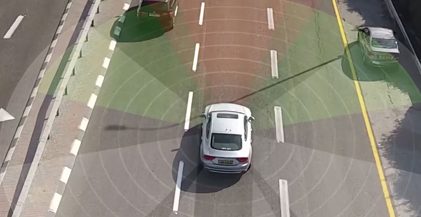
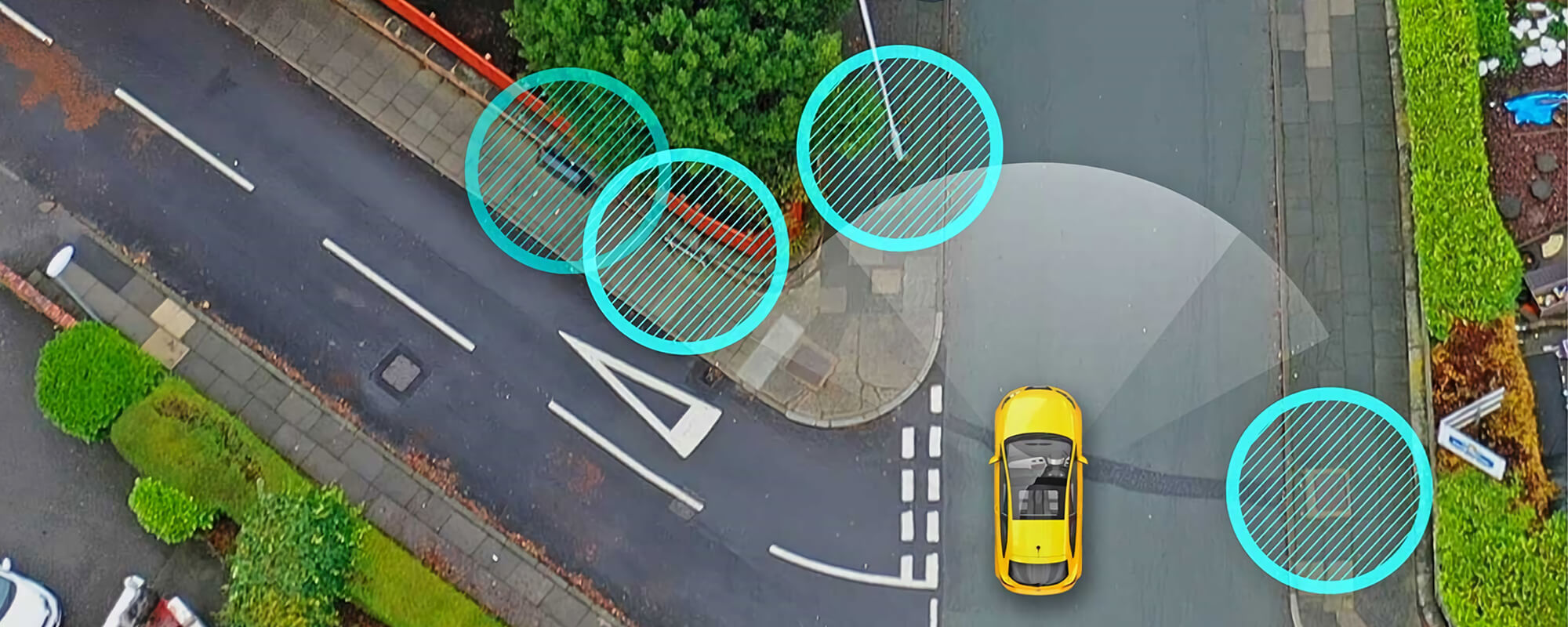
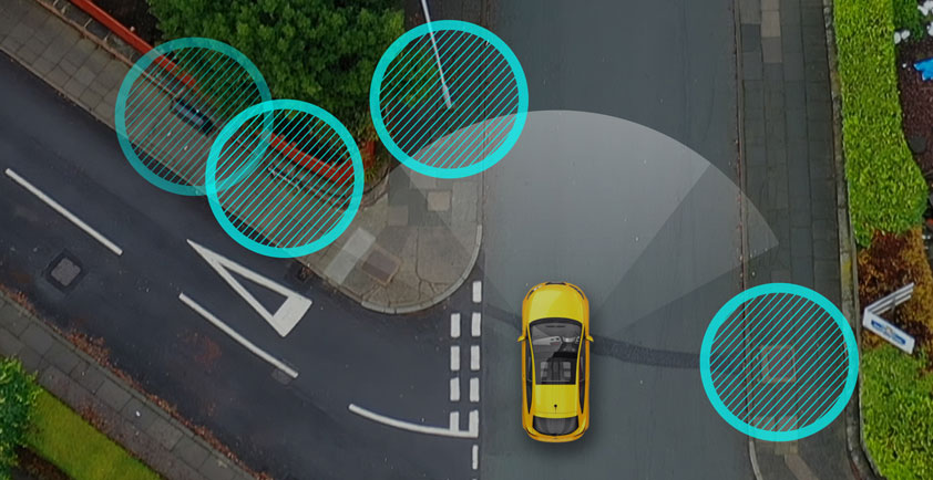
Fleets of vans and cars fitted with Mobileye’s automotive camera-based mapping technology are set to capture a street-level (worms-eye) view of the nation’s road network. Retrofitted with the Mobileye® 8 Connect™, the vehicles are detecting, processing and sending data to the cloud for aggregation before the information is provided to OS. OS, a world-leading geospatial data and technology organization, cross-references the data with its existing datasets. The level of detail recognized and classified includes road markings, network boxes, traffic lights, road signs, lamp and telegraph posts, bollards, manhole covers, and drainage grates. The data is updated constantly as vehicles capture information on the roads they travel.
Professor Amnon Shashua, president and CEO of Mobileye, said: “A future of smart cities and safe streets is within reach when we equip governments and businesses with high-precision mapping data. We look forward to seeing the continuing progress of our trials.”
Initially tested in selected areas of the country, the trials included London, Manchester and the North East. The trials are already helping produce a dataset of Britain’s road network characteristics and street furniture at an unprecedented level of accuracy. The trials will lay the groundwork for new data and infrastructure asset monitoring services from Mobileye and OS for customers across many markets, ranging from the energy and infrastructure sectors to emerging tech markets including connected and autonomous vehicles (CAV) and 5G.
Neil Ackroyd, OS interim CEO, said: “At OS we strive to create environments that support new technologies and data services across the public and private sector. The OS collaboration with Mobileye further enhances our commitment to supporting Britain as a world-leading centre for digital and tech excellence. The initial trials are already delivering a deeper and richer level of data capture which we are confident will bring added value to our customers and become an important dataset for emerging markets, and a building block for Britain’s infrastructure for many years.”
The utility sector will be among the first markets to take advantage of new data services from Mobileye and OS. Utility businesses will be able to enhance the quality of their existing asset data, making it faster and simpler to identify and link above-ground and underground assets. Companies can monitor the condition of their assets, saving them money and time when planning asset maintenance programs.
As part of the trials, Northumbrian Water Group vehicles will be retrofitted with the Mobileye solution to help capture data across the North East of England.
Clive Surman-Wells, Northumbrian Water Group operations solutions manager, added: “We’re really excited and proud to be the first utility company to have the opportunity to try this new technology. There are so many benefits that have the potential to really change the game when it comes to helping manage our networks and keep our customers’ water flowing.”
As the global leader in the development of vision technology for advanced driver assistance systems (ADAS) and autonomous driving, Mobileye also empowers fleets with a higher standard of safety and helps reduce traffic injuries and fatalities. The Mobileye 8 Connect system, which is powered by Mobileye’s EyeQ®4 processor, brings several advanced collision avoidance features in addition to providing alerts and warnings that can improve driver behavior and create safer roads.
OS and Mobileye expect trials to continue over the summer.
About Ordnance Survey
Ordnance Survey (OS) is the national mapping agency for Great Britain, and a world-leading geospatial data and technology organization. As a reliable partner to government, business and citizens across Britain and the world, OS helps its customers in virtually all sectors improve quality of life. OS expertise and data supports efficient public services and infrastructure, new technologies in transport and communications, national security and emergency services and exploring the great outdoors. By being at the forefront of geospatial capability for more than 225 years, we’ve built a reputation as the world’s most trusted geospatial partner.